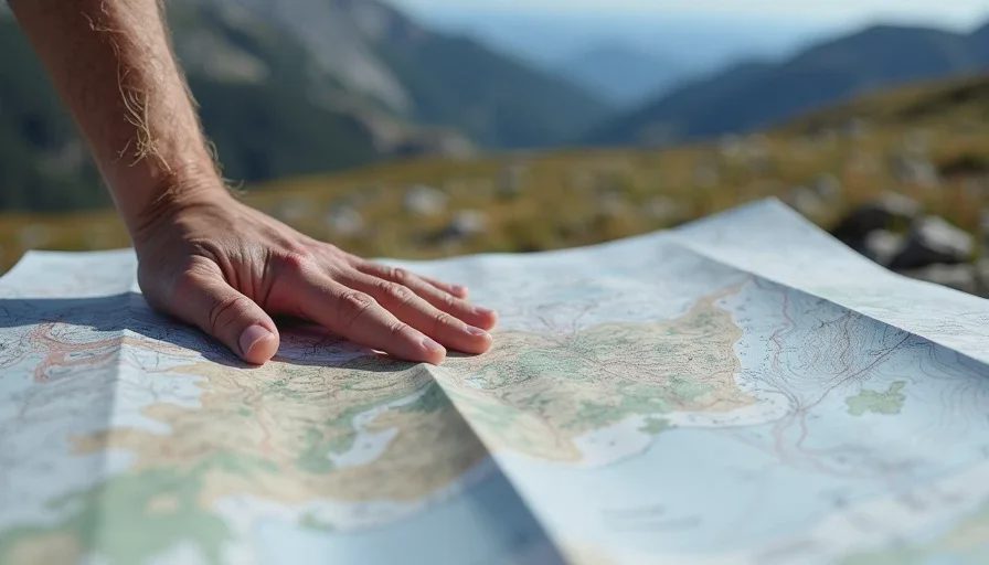
Here's the direct version: being able to read a topo map will keep you from getting lost, but it will not tell you where the trail actually is. The gap between those two statements is where field navigation skills for backpackers actually live, and it's the gap most people don't know exists until they're standing in chest-high willows wondering why the map shows a clear route. This post is about what contour lines can't tell you — terrain texture, seasonal change, and the difference between a map's clean abstraction and the ground's messy reality.
The Map Is a Story, Not the Ground
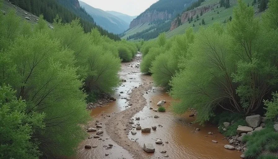
A topo map is a model. It tells you elevation, slope angle, and the general shape of the land. What it doesn't tell you is what the land is made of, what's growing on it, and what last spring's snowmelt did to it. I've followed a contour line across a slope that turned out to be a willow thicket, a boulder field the map rendered as open ground, and a creek the map showed as a thin blue line and the ground showed as a thigh-deep hazard.
What the Map Won't Show You
The list is longer than most people expect:
Ground cover: a contour line doesn't distinguish talus, meadow, willow, or burn
Drainage behavior: which creeks run in August and which dry up by July
Trail condition: the map shows the route, not the deadfall, the washout, or the reroute
Route efficiency: two lines of equal length can differ by hours depending on what lies between them
Seasonal truth: a late snow year changes the whole calculus above 11,000 feet
Each of these is a category of information that exists only on the ground, and each one has sent experienced hikers on longer days than the map promised.
A concrete example, from a route I know well: the high basin in the Indian Peaks shows on the map as open tundra. In June of a normal year, that's exactly what it is. In a wet year, the same basin becomes a soak where every step lands in running water and the crossing you planned takes twice the time. The map didn't change. The ground did. Hikers who trusted only the map planned a different day than the one they got.
Reading the Ground as a Second Language
The skill is not replacing the map — it's reading both at once. The map gives you the framework; the ground fills in the texture. When I'm on a new route, I keep a running internal cross-check: the map says the valley floor should be flat and open, so why am I looking at a band of deadfall? The map says the slope is twenty degrees, so why is the footing this loose? The moment the map and the ground disagree, the ground wins, and the map gets consulted for context rather than instruction.
A Field Method for the Cross-Check
Here's the method I teach, and the one I use on every unfamiliar route:
Map signal | Ground question | What I look for |
|---|---|---|
Flat valley floor | Is it meadow or willow? | Vegetation height, wetness, animal trails |
Thin blue creek | Is it running in August? | Streambed moisture, crossing width, current |
Open slope | Is it talus or grass? | Rock size, slope angle, whether it slides |
Trail as a solid line | Where is the actual route? | Footbed, cairns, worn vegetation |
Ridgeline shortcut | Is the ridge walkable? | Cliffs, exposure, whether it actually goes through |
The questions are simple. The habit of asking them — continuously, out loud in your head, on every route — is the actual skill, and it compounds. After a season of cross-checking, you start to see the landscape as a conversation between what the map knows and what the ground knows, and you stop trusting either one alone.
Here's a second practice that costs nothing: on the way in, look behind you. Not once — repeatedly. The route looks different from the other direction, and the ground you'll be reading on the way out is the ground behind you, not the ground in front. Hikers who only read the map on the way in are reading half the language.
Why This Matters More Than It Used To
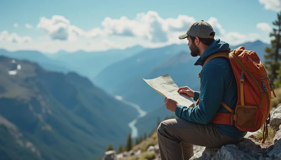
It's worth saying plainly why I'm writing this now. The phone in your pocket is a remarkable tool, and it has made a generation of hikers dependent on a map that's always available, always centered, always certain. But the phone's map is still an abstraction, with the same blind spots as paper — plus a few new ones: batteries, reception, and the quiet erosion of the habit of looking up from the screen and reading the land directly.
I'm not telling you to leave the phone at home. I carry one. I'm telling you to keep the paper-and-eyes skill warm, because the phone is a tool that amplifies what you already know how to do, and it can't replace what you never learned. The hiker who navigates with paper and eyes first, and the phone second, is the hiker who can still navigate when the screen dies — and screens do die, on wet days, at the wrong moment, at the bottom of a talus field.
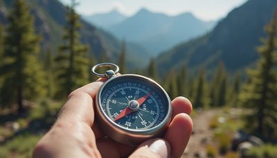
The unglamorous truth is that navigation skills for backpackers are a set of small, boring, repeated habits: checking your bearing, confirming your position against terrain features, looking behind you so the route looks the same on the way back, noticing when the ground stops matching the map. None of it is dramatic. All of it is the difference between a route that goes smoothly and a route that quietly goes wrong. When the weather closes in, when the cairns disappear, when the map starts lying in the way maps lie, what you have left is your ability to read the ground and your memory of the last twenty minutes of walking. Both of those are built on the trail, one step at a time. One steady step.


No comments yet — grab the first one.