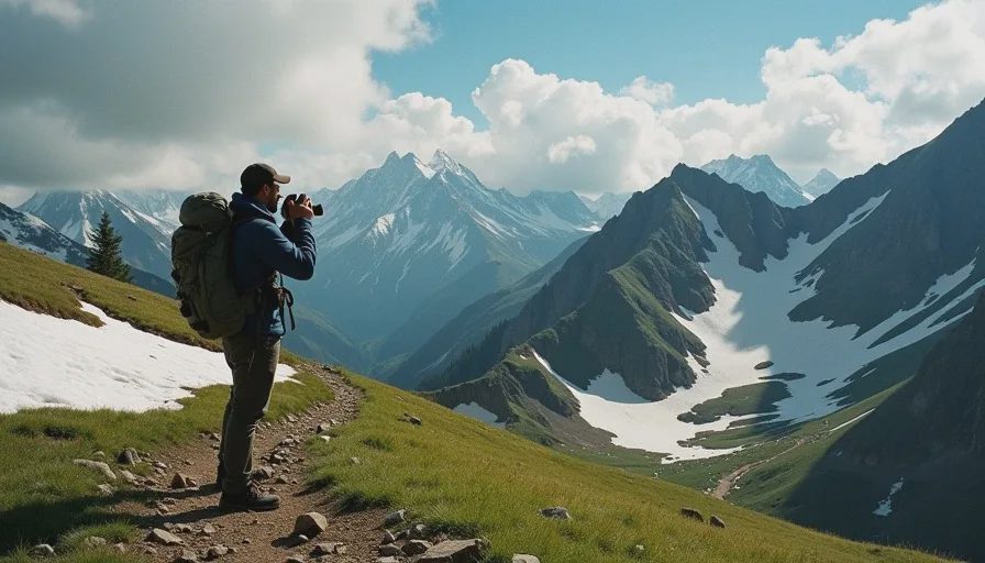
Every June I pull the memory cards out of my camera bag and stack the prints from the box under my desk, then lay ten Junes side by side. I have been walking the same Colorado hiking trails for eleven years now, and the photos do not lie the way memory does. The snowpack photos, the stream crossing photos, the burned ridge photos — lined up in a row, they tell a story I would have sworn was not happening while I was living it. This is not a statistics post. I have no graphs to offer. This is what I have watched with my own eyes on trails I know well enough to walk in the dark, and how the watching changed the way I plan a season.
The Snowpack Is Earlier, and the Window Is Tighter
The clearest evidence I have is my own habit. Every spring my partner Thea and I joke that we earn our summer hiking by hauling garden water while the snow melts. The joke is that the hauling window keeps shrinking. A decade ago, the Front Range trails I hike held snow into the first week of July in a heavy year. Now, after the same kind of winter, the snow is gone three weeks earlier, and it goes fast — it does not melt so much as collapse.
What the June Photographs Show
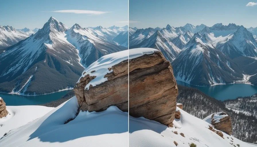
Same rock outcropping, same camera position, different snow. In 2016, drifts neck-deep in the shadow of the pass. In 2024, bare talus by the second week of June, with early meltwater streaming down routes that stayed dry until August. The wildflower timing shifted with it, and so did the bug pressure. These small shifts are why the same Colorado hiking trails surprise me every year, no matter how well I think I know them. If you plan a route from a guidebook written five years ago, you are planning for a season that no longer exists.
The seasonal markers I used to trust have moved:
Season marker | Then (2015–2017) | Now (2023–2025) |
|---|---|---|
Pass snow gone | Early July | Mid-June |
High creeks run high | Mid-June through July | Late May through June |
Fireweed blooming | Late July | Mid-July |
Smoke days on the Front Range | One or two a decade | Most summers |
The Stream Crossings That Moved
My regular loops show it most clearly at the crossings. They used to be fixtures — the mid-June ford, the late-summer rock hop. Now the mid-June ford can be thigh-deep in a wet year, and the late-summer hop sometimes is not there at all. I have started logging crossing conditions every time I pass one, in a notebook that lives in my pack. Three years of field notes beats a decade of guesswork, and it costs me nothing but a minute with a pencil. The pattern holds across every loop: crossings that used to be simple decisions in late summer are now weather events in early season, and the ones that used to roar in June are quiet by the time the monsoon arrives. I photograph each one from the same bank every year, so the comparison is honest.
Fire Season Is Part of the Plan Now
Eleven years ago, wildfire smoke was a rarity in my Colorado hiking trails calendar — a bad September every few years, maybe. Now I check air quality the way I check the weather, and I have learned to read the sky over the Front Range the way Thea reads a forecast before her Denver commute. Smoke changes a trail day even when it does not cancel it.
The Burned Ridges I Used to Walk
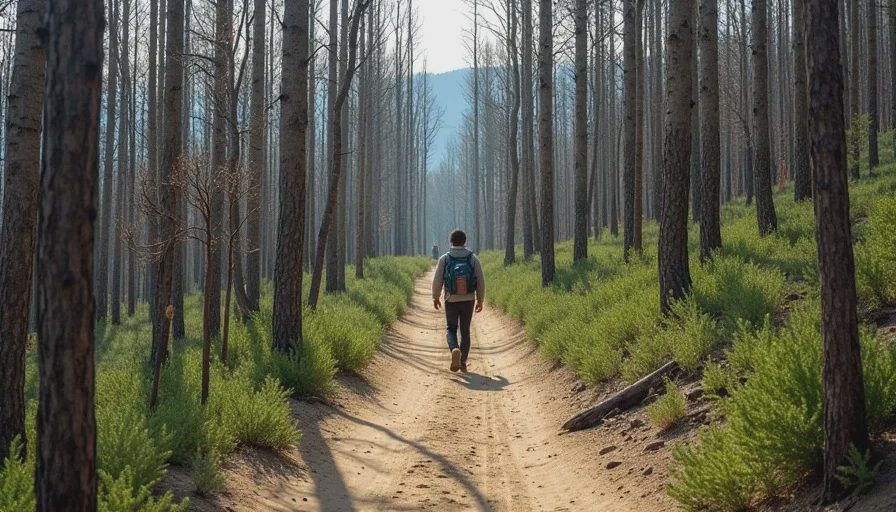
Two of my regular loops now run through burn scars. One burned in 2020 and has since run a full cycle — gray trunks, then fireweed, then a tangle of new aspen. I have walked it every fall since, and the recovery is a lesson in patience. The trail itself changes every year: deadfall across the tread, erosion gullies where roots burned out, new social paths where hikers avoid the exposed stretch. It is the same country, rebuilt in a different order, and the rebuilt version has a personality of its own.
How I Plan Around It
Three rules I added to my planning that I did not need a decade ago:
Check the smoke forecast at the trailhead before leaving the car, and turn around if ridgeline visibility is under a mile — not because I cannot hike, but because I cannot see.
Carry a filter and extra water capacity in fire-affected drainages, where creeks run silt-heavy after summer storms.
Treat trail closures as final, even when they look arbitrary on a map. Burn areas reopen on their own schedule, and hikers are never on it.
What a Decade of Observation Changed in My Planning
The practical conclusion is simple: I plan Colorado hiking trails in smaller pieces now. I do not commit to a route in April for August. I pick a target, hold three alternates, and make the call in the days before, not the months before. The old model — pick the trail, trust the guidebook, go — is a relic. The ground is moving too fast for it, and the window for any single route is narrower than it used to be. That means a different kind of discipline: knowing the alternates well enough that switching is not a consolation prize but a plan.
That is not gloom. It is honest accounting from a decade of field notes. The mountains are still the mountains. The wildflowers still come. The ridgelines still ask for the same work. What changed is that the ground under them moves more than it used to, and I have learned to watch it, photograph it, and write it down. One steady step.


No comments yet — grab the first one.