The Lake Haiyaha hike is short by Rocky Mountain standards, but distance is a poor measure of effort here. From Bear Lake, the route climbs through spruce and fir, passes Nymph and Dream Lakes, then works across rough granite toward a high basin at roughly 10,200 feet. I have walked it in clear morning light and under the flat, uneasy sky that usually precedes afternoon weather. Both trips required the same thing: attention.
This is not a wilderness expedition. It is a busy national park trail with a relatively modest round-trip distance, often listed around four miles depending on the exact route and measurement. Still, altitude, stone steps, slick roots, crowded junctions, and rapidly changing weather make it more serious than the mileage suggests. The lake is worth seeing, but the day is better when you treat the route as mountain travel rather than a casual stroll.
Planning the Lake Haiyaha hike
The usual starting point is Bear Lake Trailhead in Rocky Mountain National Park. Parking fills early, especially on summer weekends and fall mornings, and access rules can change by season. Timed-entry reservations and the park shuttle system are common parts of planning, so check the official park page before leaving Boulder or Estes Park. Arriving late and assuming a parking space will be waiting is a reliable way to spend more time in a line than on trail.
The route begins on the Bear Lake corridor, where the tread is broad and heavily traveled. You reach Nymph Lake first, then continue toward Dream Lake. At Dream, follow the signed route toward Lake Haiyaha rather than continuing on the Emerald Lake trail. That junction matters because the landscape starts to feel less polished after it. There are larger rocks, tighter turns, and sections where you will use your hands for balance without quite calling it scrambling.
I carry a paper map even on this short route. A downloaded Gaia GPS or CalTopo map is useful too, especially when snow covers the edges of the trail. Water is available early in the season from streams, but filtering is still necessary, and late-season sources can be slow or unreliable. For a half-day outing, a liter of water, a small filter, food, and an insulating layer are a sensible baseline.
What the Lake Haiyaha hike feels like on foot
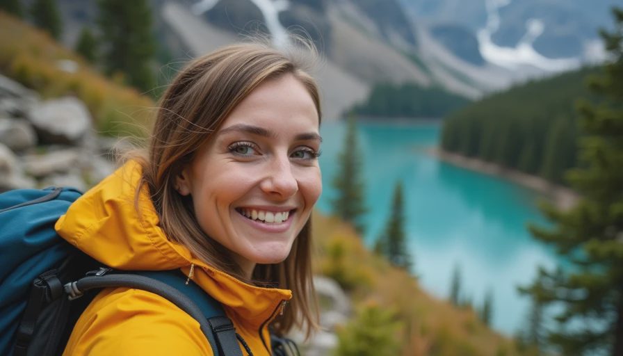
The first section can feel almost social. Families, runners, photographers, and hikers moving toward Dream Lake share the path, and the lake itself often has a ring of people around it. After the junction, the rhythm changes. The trail narrows, the forest closes in, and the granite begins to dictate where your feet go.
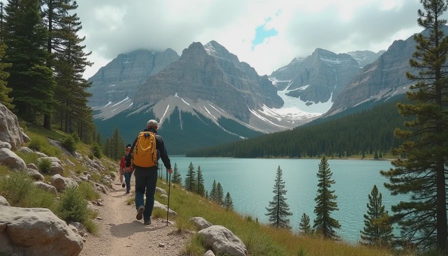
The climb is steady rather than dramatic. You gain elevation in small decisions: step high, place a boot carefully, pause behind a slower group, then find the next cairn or trail segment. The boulder field near Lake Haiyaha is the part that deserves patience. It is not a place to rush for a photograph. Wet rock can be treacherous, and gaps between stones are large enough to turn a tired ankle into a long problem.
At the lake, the reward is not a single grand overlook. It is the texture of the place: pale boulders, dark water, battered trees, and the walls of Chaos Canyon rising beyond. Wind can move across the basin even when the forest below feels still. I usually sit for ten minutes before taking out the camera. The pause makes the descent easier to begin and gives the weather time to show its hand.
The best version of the Lake Haiyaha hike is an early one. Morning light is kinder on the water, and an early start reduces the chance of being above treeline-adjacent terrain when thunderstorms build. You also get more room to choose your line through the rocks before the return traffic arrives.
Weather, altitude, and route judgment
Do not use the short mileage as permission to ignore weather. Rocky Mountain storms can develop quickly, particularly from late morning into afternoon. Thunder is a firm turnaround signal, not background scenery. If clouds are thickening over the ridges, leave the lake and move lower. The route does not become safer because you are close to the destination.
Altitude is another quiet variable. Visitors arriving from lower elevations can feel headache, nausea, unusual fatigue, or a dry, racing breath on what looks like an easy grade. Slow down before symptoms become persuasive. Drink normally, eat something with carbohydrates, and turn around if you feel worse rather than trying to negotiate with the elevation.
For the Lake Haiyaha hike, I prefer trail runners with a firm sole when conditions are dry and supportive boots when the rocks are wet or snow-covered. Trekking poles help on the descent, particularly for hikers with old knee injuries. They are less useful if you need both hands on a boulder, so collapse them or stow them before the roughest section instead of letting them swing from your wrists.
Snow can remain in shaded areas well after nearby trails look clear. Microspikes are sensible when the route is icy, but they do not replace route judgment. If the trail disappears under continuous snow, navigation becomes slower and the risk calculation changes. A short route in summer can become a demanding winter outing without any change in the map.
A safer return and a better day
Most trouble on the Lake Haiyaha hike happens on the way down. Legs are tired, attention loosens, and the rocks that felt manageable uphill become awkward steps. I slow down before the boulder field, keep three points of contact when needed, and leave enough space from the person ahead to choose my own footing. There is no prize for matching another hiker's pace.
Carry a rain shell even when the forecast looks clean, plus a warm layer, sun protection, snacks, and a basic first-aid kit. Cell service can be inconsistent, so tell someone your planned route and expected return. Dogs are not allowed on most trails in Rocky Mountain National Park, and bicycles are not appropriate for this route. Pack out everything, including food scraps, and give wildlife more distance than your camera suggests you need.
If the parking area is full or the weather is deteriorating, substitute a lower-elevation walk rather than forcing the plan. A successful day can end at Dream Lake, Nymph Lake, or even Bear Lake. On one outing, I turned around before the final push because thunder had begun to pulse beyond the divide. The decision felt unsatisfying for about fifteen minutes. By the time I reached the trailhead, it felt obvious.
Final notes for the Lake Haiyaha hike
The Lake Haiyaha hike gives you a concentrated sample of Rocky Mountain travel: crowded access, thin air, changing weather, imperfect footing, and a landscape that asks you to look slowly. Start early, confirm the park's access requirements, and build more time into the day than the mileage suggests. Take the route one junction at a time and let the lake be a destination, not a demand.
There is enough beauty here without manufacturing drama. The quietest moment may come beside Nymph Lake before the crowds spread out, or on the descent when the granite stops requiring your full concentration. Walk steadily, turn around cleanly when conditions call for it, and leave the basin as you found it. One steady step.



No comments yet — grab the first one.