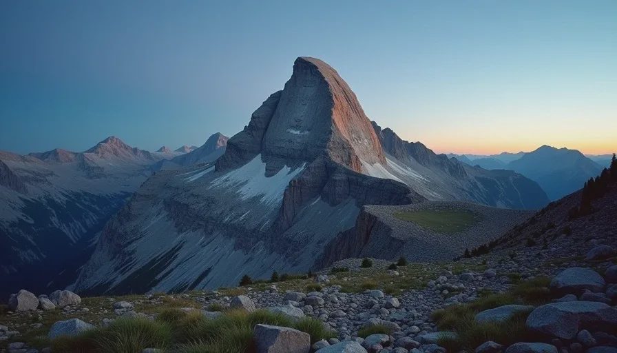
No part of Longs Peak rewards a late start, and no amount of preparation removes the moment when mountain weather decision making stops being an exercise and becomes the whole point of the day. This is the trip report for a day I started at 3 AM under a headlamp, climbed the Keyhole route to 14,259 feet, and had to make the call I'd been rehearsing for years when the sky changed its mind mid-morning. I'm writing it down because the decisions in those hours — when to push, when to wait, when to turn — are the ones that keep you walking in the Rockies for a long time.
The 3 AM Start
The rule for Longs Peak in summer is simple: get above timberline early, and get back below it before the afternoon. The rule is easy to recite and hard to obey, because obeying it means starting from the trailhead at 9,400 feet in the dark, when the parking lot is cold and your body wants to negotiate. Thea and I had agreed on a 3 AM start the night before, over coffee I'd roasted the prior week, and there was something ceremonial about standing at the trailhead in the dark — headlamps on, stars out, breath fogging — while the day waited to begin.
The First Two Hours
The approach to the boulder field is straightforward in daylight. In the dark it becomes a long exercise in trust: trusting the trail, trusting your own footing, trusting the plan. We moved at a steady clip, and I checked my watch at timberline more out of habit than need. Two things matter in these first hours — pace and water. I've watched hikers burn through both before the day has properly begun, and the ones who recover are the ones who treat the start as part of the route, not a prelude to it.
The first miles climb through subalpine forest, and in the dark the forest does something particular: it narrows the world to the pool of your headlamp and the sound of your own breathing. The trees give way around 10,900 feet, and when you step above timberline into the open, the sky comes back all at once. That transition — from enclosed to exposed — is worth paying attention to, because it's the point where your body starts telling you honestly how the day is going.
Elevation and the Boulder Field
Elevation | Landmark | What it demands |
|---|---|---|
9,400 ft | Trailhead | Patience — the day begins in the dark |
10,900 ft | Timberline | A layer check and the first water stop |
12,760 ft | The Keyhole | Route finding and the first real decision point |
13,200 ft+ | The Trough | Steady pace, careful footing on broken rock |
14,259 ft | Summit | Brief — the weather owns the summit |
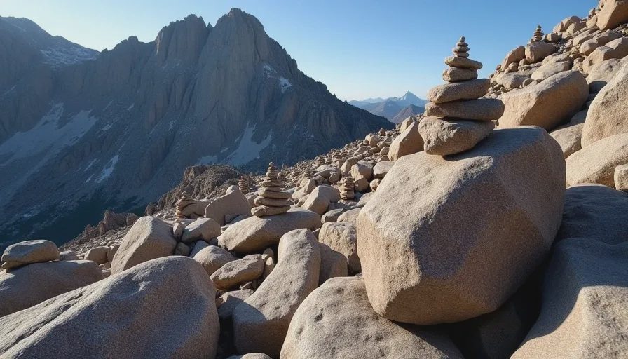
The boulder field below the Keyhole is a lesson in reading terrain by feel. The route is marked with cairns, but the cairns are a conversation, not a command — they assume you know the difference between a summit cairn and a route cairn, and that you can hold a line across a slope of broken rock without losing the thread. The rocks here are not friendly, and I don't mean that as color. They shift, they pinch ankles, and they hide small pools of meltwater between them. The good news is that the route-finding is generous if you keep your head up: the Keyhole notch is a clear landmark once the sun is on it, and on a July morning there is always someone ahead of you, a moving reference line against the gray.
When the Weather Turns
We reached the Keyhole at 12,760 feet around 6:45 AM, and I made my first real weather assessment of the day. The sky to the west was clean. The summit block sat above us in hard morning light. Every forecast I'd read had said the same thing: a late window, a change by early afternoon. What forecasts don't tell you is what the air will do when it actually turns, and that's where mountain weather decision making leaves the forecast and enters the field.
The Signs I Was Watching
By the time we were in the Trough, the signs were lining up in a familiar order:
The wind shifted from west to southwest and began to gust in a rhythm that meant business
A flat, gray shelf of cloud began to build over the Continental Divide — not moving fast, just growing
The light went from sharp to diffuse, and the summit block lost its hard edges
Distant thunder, twice, at a distance I could not yet locate
None of these alone is a reason to turn around. That's the trap: each one is explainable on its own. It's the combination, and the direction of change, that tells the story. Mountain weather decision making is rarely about a single dramatic sign. It's about reading the sequence.
The Decision Point
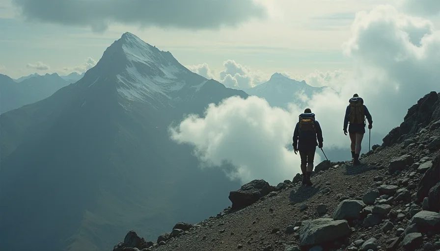
We were at roughly 13,800 feet, in the steep section below the Homestretch, when I made the call. The Trough had been fine. The conditions were not yet dangerous. But the direction was clear, and the rule I've carried for a decade is this: once the sequence is moving against you, you don't wait for it to finish. We had plenty of daylight to descend the boulder field. We would not have had plenty of time to talk about the choice from above timberline in a hailstorm.
So we turned. Not with drama — with the quiet relief of a decision that had already been made a hundred times in my head. We stopped, drank water, ate, and began the long descent while the storm built behind us, properly, over the summit.
What the Day Gave Me
The summit photo was never taken because the summit wasn't reached — that's the version of the story that fits in a caption. The version that's true is different. The day gave me the full Keyhole route, the boulder field in morning light, the satisfaction of a clean decision, and a walk down through weather that behaved exactly as predicted. It also gave me something quieter: proof that the discipline of turning around is a skill you can practice, and that practicing it makes the harder days easier.
The truth about Longs Peak is that it will be there next year, and the year after. The mountain is patient. The weather is not always patient. I've summited Longs before and I will again, but I've never once regretted the day I chose to walk down in time. One steady step. The summit is a place. The walk is the thing.




No comments yet — grab the first one.