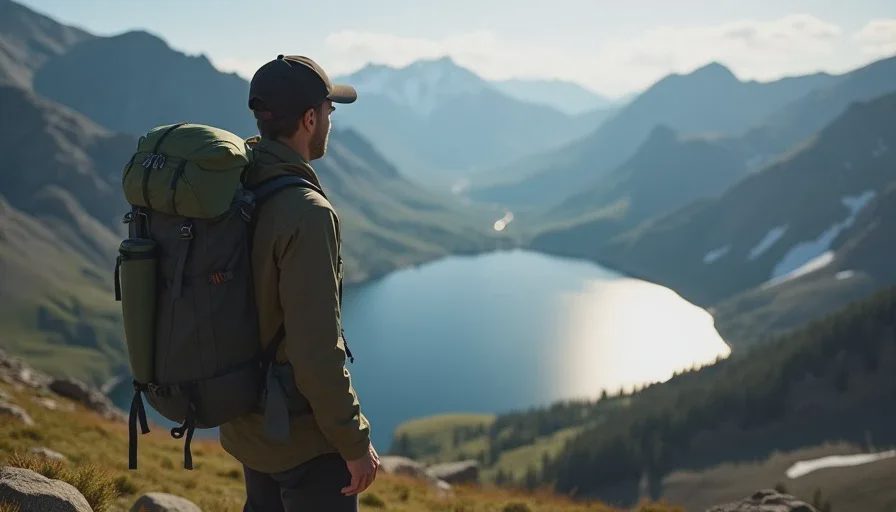
The Indian Peaks Wilderness loop I had plotted on my map looked clean on paper — three days, two passes, roughly 28 miles, all within the drainage boundaries I had studied for two weeks before the trip. What the map did not show was the social trail that branches northwest above Pawnee Lake, heading toward a drainage that looks, from 200 feet below, exactly like the one you want. I took that trail. It cost me ninety minutes and a significant amount of pride. This is the story of that loop, that wrong turn, and the navigation correction that brought me back.
Day One: Long Lake to Pawnee Pass to Cascade Creek
The first day went exactly as planned, which is always the part of a trip report that should make you suspicious. I left the Long Lake Trailhead at 6:15 a.m. with a 22-pound pack, crossed the footbridge over North St. Vrain Creek, and followed the Jean Lunning Trail past Lake Isabelle. The trail was familiar — I had run this section in summer — but carrying a full pack changed the calculus on every switchback.
The Climb to Pawnee Pass
The ascent from Lake Isabelle to Pawnee Pass covers roughly 1,200 feet in just over a mile. The trail is well-constructed but relentless — stone steps, then talus, then a final push across a sloping bench where the wind hits you sideways if it hits you at all. I reached the pass at 9:40 a.m., signed the register (the last entry was from three days prior), and looked west into the Cascade Creek drainage. This is the kind of terrain that makes an Indian Peaks Wilderness loop worth the planning — wide open, exposed, honest.
Segment | Distance | Elevation Gain | Time | Notes |
|---|---|---|---|---|
Long Lake TH to Lake Isabelle | 2.8 mi | 600 ft | 1 hr 15 min | Well-maintained trail, heavy foot traffic early |
Lake Isabelle to Pawnee Pass | 1.3 mi | 1,200 ft | 1 hr 45 min | Exposed above treeline, wind |
Pawnee Pass to Cascade Creek camp | 2.2 mi | -1,800 ft | 1 hr 30 min | Loose descent, slow going |
I made camp at a previously impacted site near Cascade Creek, filtered water, and was in the bag by 8:30 p.m. The temperature dropped to 34°F overnight — I know because I woke at 3 a.m. and checked.
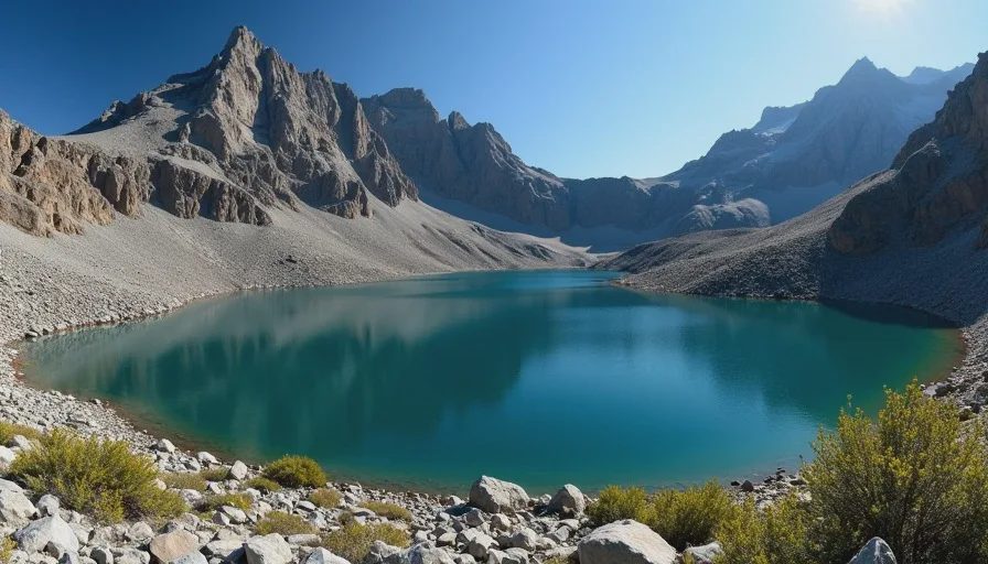
Day Two: The Wrong Turn Above Pawnee Lake
Day two is where the map and the ground disagreed. My plan was to follow Cascade Creek south, then pick up the trail toward Buchanan Pass via the Cascade Creek trail. The route seemed straightforward on the map. On the ground, the creek braids, the trail forks at informal campsites, and cairns appear where no official trail exists. Every Indian Peaks Wilderness loop I have done has at least one moment like this — where the ground reality diverges from the printed line.
How the Error Happened
I left camp at 7:00 a.m. and followed a well-worn path north along the creek. Within twenty minutes, I reached a fork. The left branch continued along Cascade Creek — the correct route. The right branch climbed gently toward a tarn I could see glinting above the trees. I took the right branch. My reasoning was flawed but confident: the bearing matched my planned direction of travel, the trail was more worn than the left branch, and I could see a series of cairns leading uphill.
The cairns, I would later realize, marked a route to an unnamed lake in a hanging basin — a destination for anglers, not through-hikers. I followed them for forty-five minutes, gaining 600 feet, until the trail deposited me on a granite slab above the lake with no obvious continuation. The drainage I wanted — the one leading to Buchanan Pass — was visible a quarter mile to the south, separated from me by a band of cliff and krummholz that would have required a dangerous traverse.
The Correction
I sat on the slab for ten minutes. I pulled out my map and compass, took a bearing to a recognizable peak on the southern skyline, and confirmed my position: I was roughly 0.4 miles northwest of where I thought I was, in a drainage I had no business being in.
Mistake: Following social cairns without confirming they led to my planned route
Detection time: 45 minutes of travel before realizing the error
Correction: Backtracked 0.4 miles to the fork, then took the correct left branch along Cascade Creek
Time lost: Approximately 90 minutes
Lesson: Cairns indicate a route, not necessarily your route
One steady step. That is what backtracking feels like — swallowing your pride and walking the way you came, knowing every step away from your wrong turn is a step in the right direction.
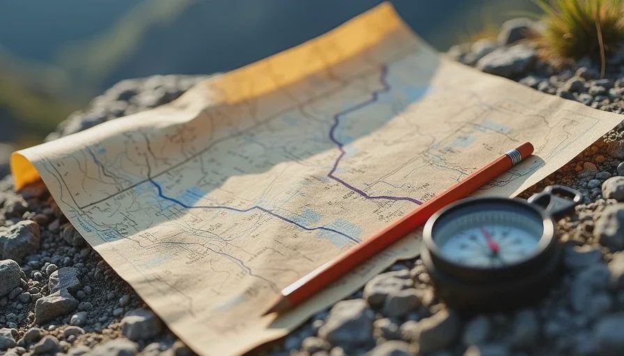
Day Three: Buchanan Pass and the Walk Out
Day three was the longest mile-for-mile day, but also the most forgiving. I climbed to Buchanan Pass (11,595 ft) in two hours from camp, descended the east side into the Buchanan Creek drainage, and followed the trail back toward Brainard Lake. The pass itself was windswept and clear, with views south to Mount Neva and the ridgeline that separates Indian Peaks from James Peak Wilderness. This section of the Indian Peaks Wilderness loop is the one I will remember — not because of the views, which were fine, but because of the relief of being back on route after the previous morning's detour.
The final four miles were on familiar ground — the Brainard Lake road trail, which I have run and walked dozens of times. I reached the car at 2:00 p.m., three hours behind my original schedule but in good shape, with enough daylight to have handled another delay.
The loop was 29.4 miles by my GPS track, not the 28 I had estimated. The extra 1.4 miles was the wrong turn and the backtrack, written into the track like a scar. I kept it. It is the most honest part of the data.
No comments yet — grab the first one.